Humphreys Peak: Tundra Hiking in Arizona
Once June rolls around, most Arizona hikers head to high altitudes to escape the desert heat. The best high-altitude hike is Humphreys Peak–a difficult hike to Arizona’s highest point. Here’s how to tackle the Arizona tundra to climb the state’s most towering mountain.
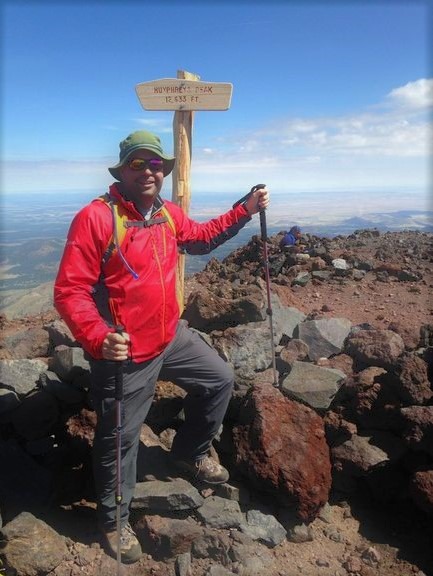
Mount Humphreys
The San Francisco Peaks are volcanic mountains that loom high above Flagstaff in Northern Arizona. Humphreys Peak is the tallest of the San Francisco Peaks and the highest point in Arizona. The Humphreys Summit trail begins at 9,300 feet elevation and climbs to 12,633 feet (3,851 m) over 4.5+ miles. Arizona may be known for its deserts. At this elevation, however, hikers will pass through Ponderosa pine and alpine tundra as they work towards the summit. Yes, tundra. In Arizona. That’s the draw of Humphreys Peak.
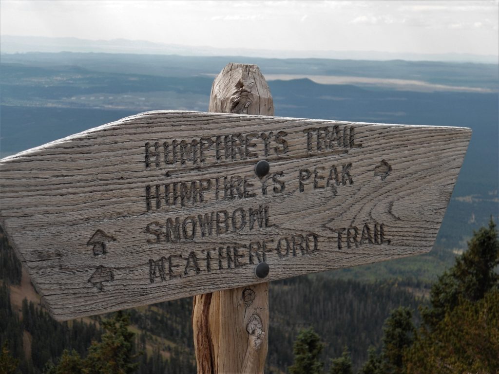
Trailhead: Arizona Snowbowl. Directions from Flagstaff: Take Highway 180 West 7 miles to FR516. Turn right onto FR516/N. Snowbowl Dr and follow 6.2 miles to the first large signed parking lot on the left. (The trailhead is approximately a two-hour and forty-minute drive from metro Phoenix.)
Length: 9+ miles (round trip)
Elevation Gain: 3,300 feet
Humphreys Peak: Hike Overview
The hike begins about 11 miles north of Flagstaff from the Arizona Snowbowl ski area. Catch Humphreys Peak Trail #151 from the parking lot and prepare yourself for a grueling hike up and down Arizona’s largest mountain. Hiking times vary, but most people estimate 3-4 hours each way (6-8 hours total).
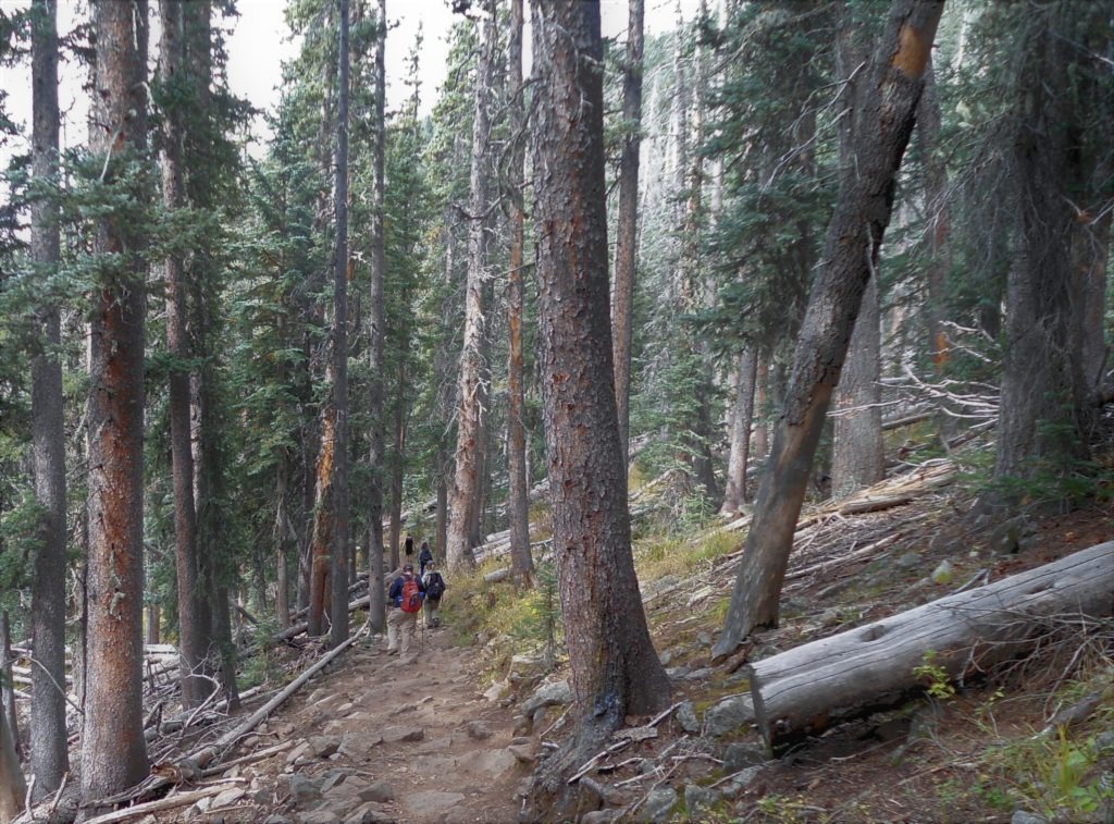
The first third of the hike climbs through alpine meadows, Ponderosa pines, and mixed conifer forest. At this elevation, Humphreys Peak looks more like Colorado than Arizona. The trail alternates switch-backs with gradual ascents up the mountain.
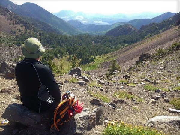
The vegetation continuously changes as you gain elevation. The pine trees thin out as you approach the tree line (11,400 feet) and then give way to tundra shrubs and wildflowers that cling to the rocks in this harsh environment. (Please note that there’s no off-trail hiking or camping above the treeline to protect these fragile plants.) You’ll eventually work your way up to a prominent saddle with big-time views of the mountain’s inner basin.
The climate grows more brutal as you gain elevation. And so does the hiking. From the saddle to the summit, you’ll be trudging through rugged scree, rock slides, and volcanic boulders.
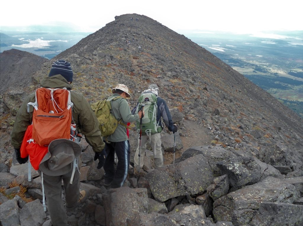
This part of the climb is physically grueling. In addition to the steep slope and rocky footing, you’re dealing with thinner air and harsher weather. (Don’t be surprised if altitude sickness sets in along this stretch.) You’ll be teased by false summits. If the mountain and weather don’t break your will, you’ll eventually reach Arizona’s highest point. On a clear day, you’ll earn commanding views that may span 200 miles from the Grand Canyon to Superstition Mountains outside Phoenix.
Safety Precautions
This hike is not for everybody. It’s physically strenuous (9-10 miles with significant elevation gain) with significant exposure, especially at higher altitudes. Here’s some quick safety recommendations and precautions to pull off this hike–and enjoy it:
- Altitude Sickness. It’s not unusual for Arizona hikers to suffer from altitude sickness on this hike. Many Phoenix-area hikers make a point to camp near the trailhead the night before to acclimate to high altitude. (Try dispersed camping at 8000 feet elevation along FR 151 or Freidlein Prairie Road.) To ward off altitude sickness, you should hydrate well before the hike, climb slowly, and constantly eat and drink on the hike itself (carbohydrates recommended). See these medical tips for hiking at high altitude.
- Exposure. This is exposed hiking in a harsh environment. You’ll need extra sun protection in the thin air and should prepare for rapid and dangerous weather changes. All hikers should dress in layers–even in mid-summer–and expect high winds (50+ mph) and wintry weather (rain, hail, snow) at all times of year. Avalanches and rock slides are possible, especially during snow melt season.
- Animals. This is bear country and rattlesnake country. However, you’re unlikely to experience them on this hike.
- Gear. This mountain is made for heavy-duty boots, and hiking poles could be useful for the steep ascents and irregular trail surfaces. You should pack at least 3L (100 oz) of drinking water and high energy snacks to manage the climb and altitude sickness. This may be Arizona, but you should prepare for a cold-weather hike at this elevation. Pack a windbreaker/hard shell and enough clothing to handle high winds and below freezing temperatures year round.
When to go?
Due to the harsh environment, this hike is primarily an early summer or Autumn hike. Most years, the snow will clear around late-May; however, the monsoon storms of July and August make mid-summer hiking dangerous at high elevations, where lightning strikes are common. Here are the best times to hike:
- June. Most years, this is the best month to avoid winter weather (which can occur year-round at the summit) and also avoid potentially deadly lightning during the July-August monsoons.
- July-August (with precautions). The Arizona monsoon season usually hits the Flagstaff region around July and August with thunderstorms common in the afternoon. If you hike Humphreys in mid-summer, watch the forecast carefully and plan to be off the mountain by noon (4-6 a.m. start) to avoid afternoon thunderstorms.
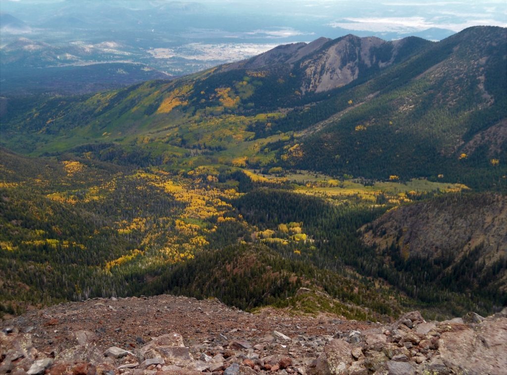
- Fall. This is an ideal time to hike Humphreys Peak, especially if you can time the fall colors. Expect colder weather (especially at higher elevations), but savor the yellow aspen leaves (typically September).
Trip Review
You won’t find any 14ers in Arizona. However, Humphreys Peak is a strong alternate to Colorado’s alpine giants. It’s a challenging hike in a tundra environment that’s more like Alaska than Arizona. As mother nature unleashes her wrath across most of the state, Mt Humphreys offers Arizona hikers a welcome escape to the Ponderosa pines and a high country summit.